Gorilla Trekking Geography Lesson Plan: Teaching Geography Through Mountain Gorilla Conservation
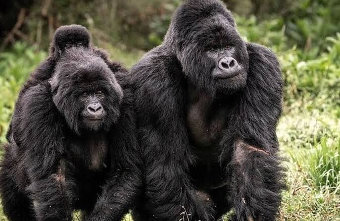
Geography helps students understand the relationship between people, places, environments, and natural resources. It encourages learners to explore how landscapes shape human activities and how humans interact with the natural world. One engaging way to teach geography is through the study of mountain gorillas and the regions where they live. A gorilla trekking geography lesson plan combines wildlife conservation, physical geography, environmental studies, and tourism into a practical learning experience that connects classroom concepts with real-world examples.
Mountain gorillas live in a unique region of East and Central Africa that includes Uganda, Rwanda, and the Democratic Republic of Congo. Their habitats provide excellent opportunities for students to study mountains, forests, climate, ecosystems, national parks, and sustainable tourism. By exploring these topics, learners gain a deeper understanding of geographic principles while discovering the importance of conservation.
A gorilla trekking geography lesson can make learning more engaging, relevant, and memorable for students of different age groups.
Understanding the Purpose of a Gorilla Trekking Geography Lesson Plan
A gorilla trekking geography lesson plan uses mountain gorilla habitats and tourism activities to teach geographic concepts. The lesson encourages students to examine the physical characteristics of gorilla environments while exploring how people use and protect these landscapes.
Students learn about the location of mountain gorillas, the countries where they live, and the natural features that support their survival. They also investigate how tourism contributes to conservation and local economies.
This approach allows educators to connect multiple geography topics within a single lesson. Physical geography, human geography, environmental management, and sustainable development all become part of the learning experience.
The result is a well-rounded lesson that combines academic knowledge with practical applications.
Locating Mountain Gorilla Habitats on a Map
One of the first activities in a gorilla trekking geography lesson plan involves identifying mountain gorilla habitats on maps. Students locate Uganda, Rwanda, and the Democratic Republic of Congo within Africa and examine the regions where gorillas live.
This activity helps learners develop map-reading skills while improving their understanding of African geography. Students can identify national borders, major cities, mountain ranges, rivers, and protected areas.
Teachers may also introduce concepts such as latitude, longitude, scale, and geographic coordinates. These skills strengthen spatial awareness and help students understand how geographers represent locations.
Mapping exercises provide a strong foundation for further exploration of gorilla habitats and ecosystems.
Exploring the Physical Geography of Gorilla Habitats
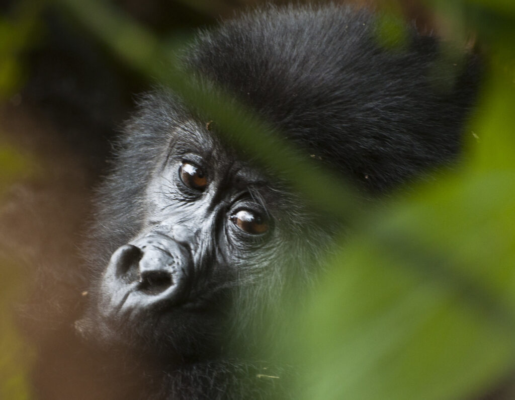
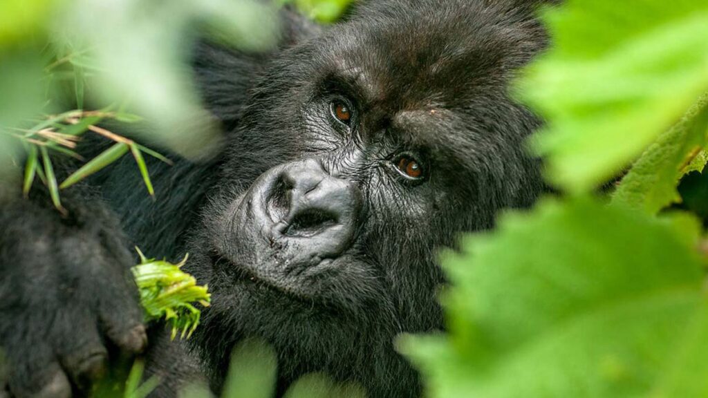
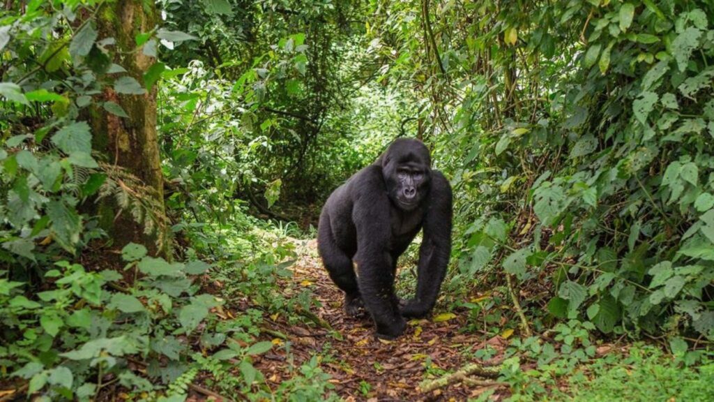
The physical environment forms a key component of any gorilla trekking geography lesson plan. Mountain gorillas inhabit high-altitude forests characterized by steep slopes, volcanic landscapes, and dense vegetation.
Students can study the physical features of areas such as Bwindi Impenetrable National Park, Mgahinga Gorilla National Park, and Volcanoes National Park. Lessons may focus on mountains, valleys, forests, climate patterns, and biodiversity.
These environments demonstrate how physical geography influences wildlife distribution. Mountain gorillas survive in specific habitats because the climate, vegetation, and terrain meet their ecological needs.
Understanding these relationships helps students appreciate the connection between landscapes and living organisms.
Climate and Weather in Gorilla Trekking Regions
Climate plays an important role in a gorilla trekking geography lesson plan because weather conditions influence both wildlife habitats and tourism activities. The regions where mountain gorillas live experience cool temperatures, frequent rainfall, and high humidity.
Students can examine how altitude affects climate and compare rainforest conditions with those found in other environments. Lessons may include discussions about rainfall patterns, seasonal changes, and the impact of climate on vegetation growth.
Climate studies also help students understand why certain species thrive in specific locations. The unique conditions found in mountain forests support a rich variety of plants and animals.
Exploring climate adds depth to students’ understanding of environmental geography.
National Parks and Protected Areas
Protected areas provide another important topic within a gorilla trekking geography lesson plan. National parks help conserve wildlife while supporting tourism and scientific research.
Students can investigate how governments establish protected areas and why conservation zones are important. Lessons may focus on the role of national parks in preserving biodiversity and preventing habitat destruction.
The study of protected areas introduces concepts related to land management, environmental planning, and sustainable development. Students learn how conservation efforts balance ecological protection with economic activities such as tourism.
National parks offer valuable examples of geographic decision-making and resource management.
Human Geography and Local Communities
Human geography is an essential element of a gorilla trekking geography lesson plan because people play a significant role in conservation and tourism. Communities living near gorilla habitats interact with the environment in various ways.
Students can explore how local residents benefit from tourism through employment, community projects, and business opportunities. They may also examine how conservation programs help reduce conflicts between human activities and wildlife protection.
Discussions about population distribution, settlement patterns, cultural traditions, and economic development provide valuable insights into human-environment relationships.
These lessons help students understand how geography influences both natural systems and human societies.
Sustainable Tourism and Geographic Connections
Tourism offers an excellent opportunity to connect geographic concepts within a gorilla trekking geography lesson plan. Gorilla trekking attracts visitors from around the world, creating economic opportunities while supporting conservation efforts.
Students can investigate how tourism depends on geographic features such as wildlife, landscapes, climate, and accessibility. They may also examine the infrastructure required to support visitors, including roads, accommodation facilities, and transportation networks.
Sustainable tourism demonstrates how economic activities can support environmental protection when managed responsibly. This topic encourages students to think critically about balancing development and conservation.
Tourism provides a practical example of geography in action.
Geographic Skills Development
A well-designed gorilla trekking geography lesson plan helps students develop essential geographic skills. Mapping, observation, data interpretation, and spatial analysis become meaningful when connected to real-world examples.
Students may analyze population maps, climate graphs, land-use patterns, or tourism statistics related to gorilla trekking destinations. These activities encourage critical thinking and strengthen analytical abilities.
Teachers can also introduce digital mapping tools, satellite imagery, and geographic information systems to enhance learning experiences. Modern geographic technologies provide valuable opportunities for interactive exploration.
Skill development remains one of the most important outcomes of geography education.
Classroom Activities and Learning Opportunities
A variety of activities can support a gorilla trekking geography lesson plan. Students may create maps of gorilla habitats, compare climate data from different regions, or research national parks in East Africa.
Group discussions, presentations, and project-based learning activities encourage collaboration and active participation. Teachers may also use videos, photographs, and virtual tours to help students visualize gorilla environments.
These activities make geography more engaging while reinforcing key learning objectives. Interactive lessons often improve knowledge retention and student motivation.
The flexibility of the topic allows educators to adapt lessons to different age groups and curriculum requirements.
Educational Benefits of Gorilla Geography Lessons
The educational value of a gorilla trekking geography lesson plan extends beyond geographic knowledge. Students develop environmental awareness, cultural understanding, and critical thinking skills while learning about conservation and sustainable tourism.
The topic encourages global perspectives by introducing learners to regions and communities that may be unfamiliar to them. It also highlights the importance of protecting natural resources and biodiversity.
Because the lesson connects multiple subjects, including science, environmental studies, and social studies, it supports interdisciplinary learning.
These benefits make gorilla-themed geography lessons highly effective educational tools.
Conclusion
A gorilla trekking geography lesson plan provides an engaging and practical way to teach geographic concepts through the study of mountain gorillas and their habitats. Students learn about maps, climate, ecosystems, national parks, tourism, and conservation while developing valuable geographic skills.
The lesson demonstrates how physical and human geography interact within real-world environments. It also encourages environmental awareness and appreciation for wildlife conservation.
By using mountain gorillas as a focal point for learning, educators can create memorable lessons that inspire curiosity, critical thinking, and a deeper understanding of the world around us.